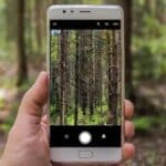

With the satellite view applications you will be able to see the country you are interested in from the satellite and also use them as a navigator.
In fact, with the satellite views you can see not only the streets of the country you are looking for but also the geography.
For example, you will be able to see mountains, lakes, rivers, forests. And then we can see the city from above and recognize the square, the school and our home.
Or discover the mountain path to where it takes you.
So if you are looking for applications to use on your next trip to see from above where you are and what awaits you on the way, here they are.
Below, you will find three satellite view applications.
Google Earth
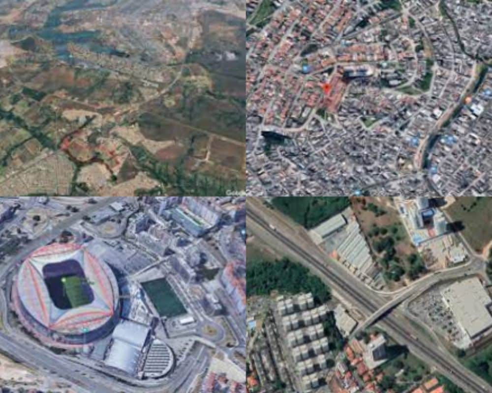
First, the well known Google Earth. This application is free and its function is to show the earth from satellites.
Google Earth it is very useful for knowing the geography of a country, especially for travel.
Then after downloading it you can enter the name of the country you want to visit or just your location and the application will show you the satellite view.
In addition, you can choose a 3d view of the place. So you can see the buildings and mountains in relief and get an idea of the height.
Or how inclined is the road you will have to travel on your bike.
And again, there is also the possibility of having a 360 degree perspective.
That is, using the arrows on the 4 sides of the screen you can make a 360 degree turn of the point where you have placed the location.
Google Earth is available for Android And Apple.
Announcements
Magic Earth Navigation & Maps
Magic Earth is a satellite view application with approximately one million downloads.
In fact, it is very popular because it also works offline and does not give access to your data, protecting your privacy.
And then you can download maps and keep them saved on your mobile so that you can use them when you are in a place with no signal or wifi.
Even with Magic Earth you can choose the satellite view and also 3D with mountains and buildings in relief.
Magic Earth has a library of maps of 233 countries that you can keep saved on your mobile.
Also for mountain walks, you can manually mark the path you will do and know how high you will arrive.
Magic Earth is available for Android And Apple.
OsmAnd
OsmAnd it is free for Apple phones, as for Android phones it has a not very low cost.
Osmand it is mainly a navigator that shows the way with voice commands.
But it also has the option of satellite view of the route or the place where you put your location.
This application also offers the possibility to download and save maps, to be used even when you are offline.
Very interesting is that the maps of OsmAnd they are updated every month.
Also it can be very useful that this application shows points of interest and public transport lines.
Also with Osmand you will know the altitude you will reach during the trip.
In the end OsmAnd is an OpenSource application, which means it is always updated and modified.